Academic Project
MapLoom — Interactive Map Management Portal
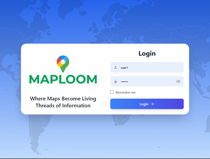
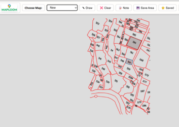
MapLoom is a web-based interactive map management portal branded as "Where Maps Become Living Threads of Information." It enables administrators to create, edit, and version-control geographic maps (GeoJSON + image overlays), while users can view maps and submit location-tagged feedback.
Project Challenges
Building a reliable version-snapshotting system for GeoJSON map data, securing role-based access without a heavy auth framework, and delivering a smooth real-time drawing experience using Leaflet-Geoman inside a Flask-served SPA.
- Implementing automatic map versioning before every overwrite
- Balancing functionality with aesthetic design
- Designing role-based session auth with admin/user flows
- Serving a multi-page SPA entirely from Flask static folder
Project Goals
To deliver a production-ready map portal with full CRUD, audit-trail versioning, and a secure feedback system — packaged as a single deployable Python unit runnable on any WSGI server (Gunicorn, uWSGI).
Tech Stack
- Flask
- SQLite
- Leaflet.js
- Tailwind CSS
- passlib
- Git & GitHub
Timeline
- Research & Planning: Jul - Aug 2025
- Design & Development: Aug - Sept 2025
- Development: Sept - Oct 2025
- Final Presentation: 30th Oct 2025